By Farley Miller, Research Associate, Bigelow Laboratory for Ocean Sciences
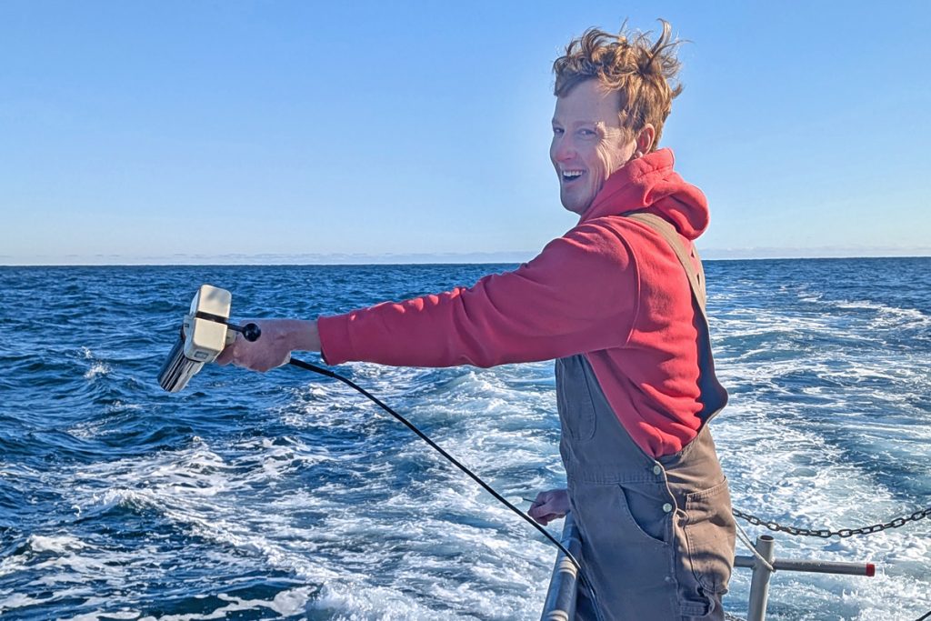
“Five minutes,” Dave calls from the wheelhouse. Those of us in the lab space on board look at each other, not sure if we can wrap up processing from the last sampling station before the next one arrives. We were supposed to be fair weather scientists. We prefer light winds and calm seas to reduce interference and to travel at speed. But here we are in February, heaving off of Monhegan Island, ice building up on the rails, and the deck a slushy mess. We are bouncing around, spilling water, and struggling to keep the filters from flying off their stands. But the skies are clear, not a cloud in sight. That’s why we picked today.

We were offshore validating the newest NASA ocean-observing satellite as part of a long-term project at Bigelow Laboratory: the Gulf of Maine North Atlantic Time Series (GNATS).
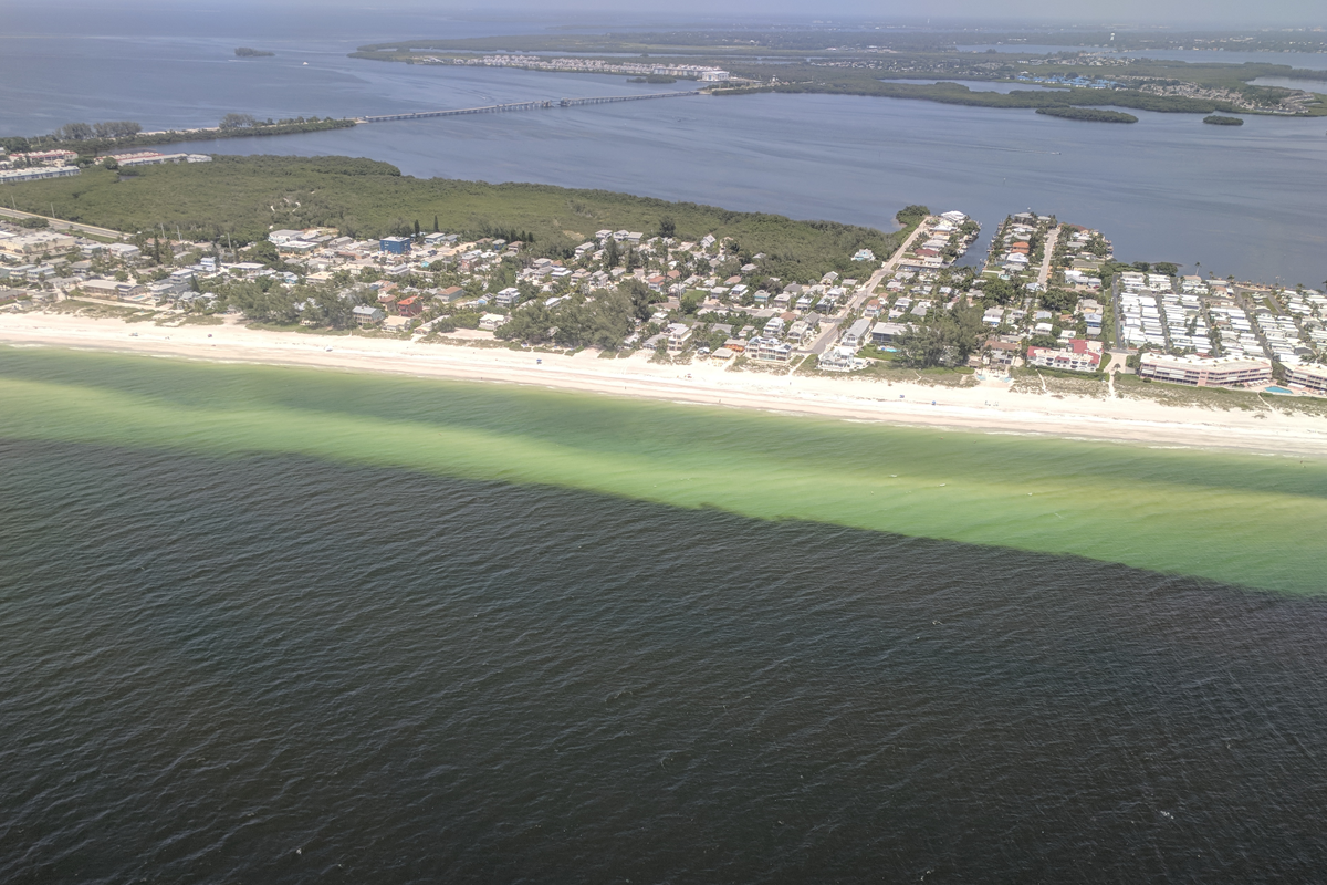
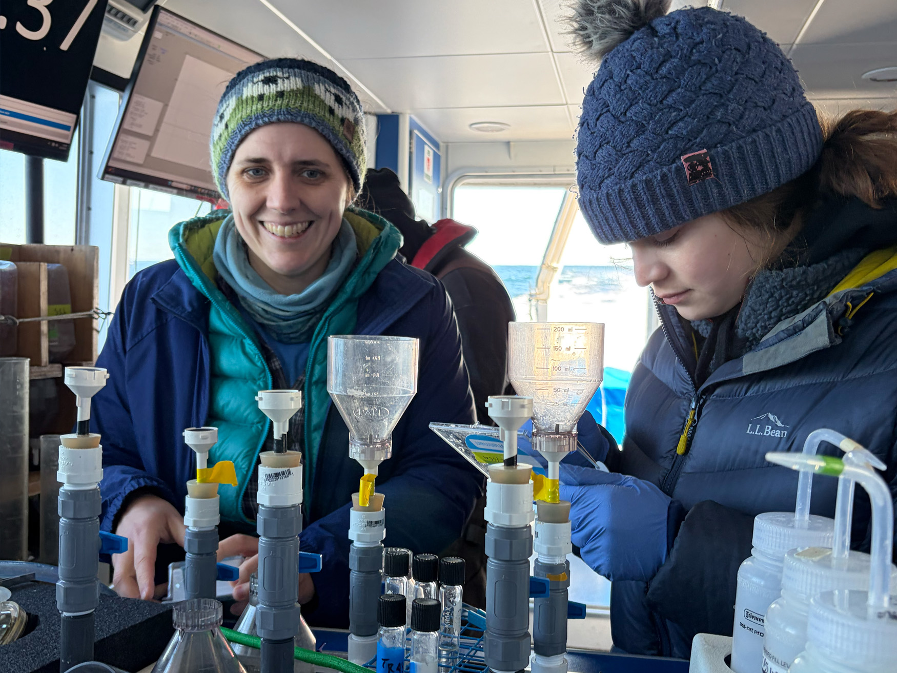
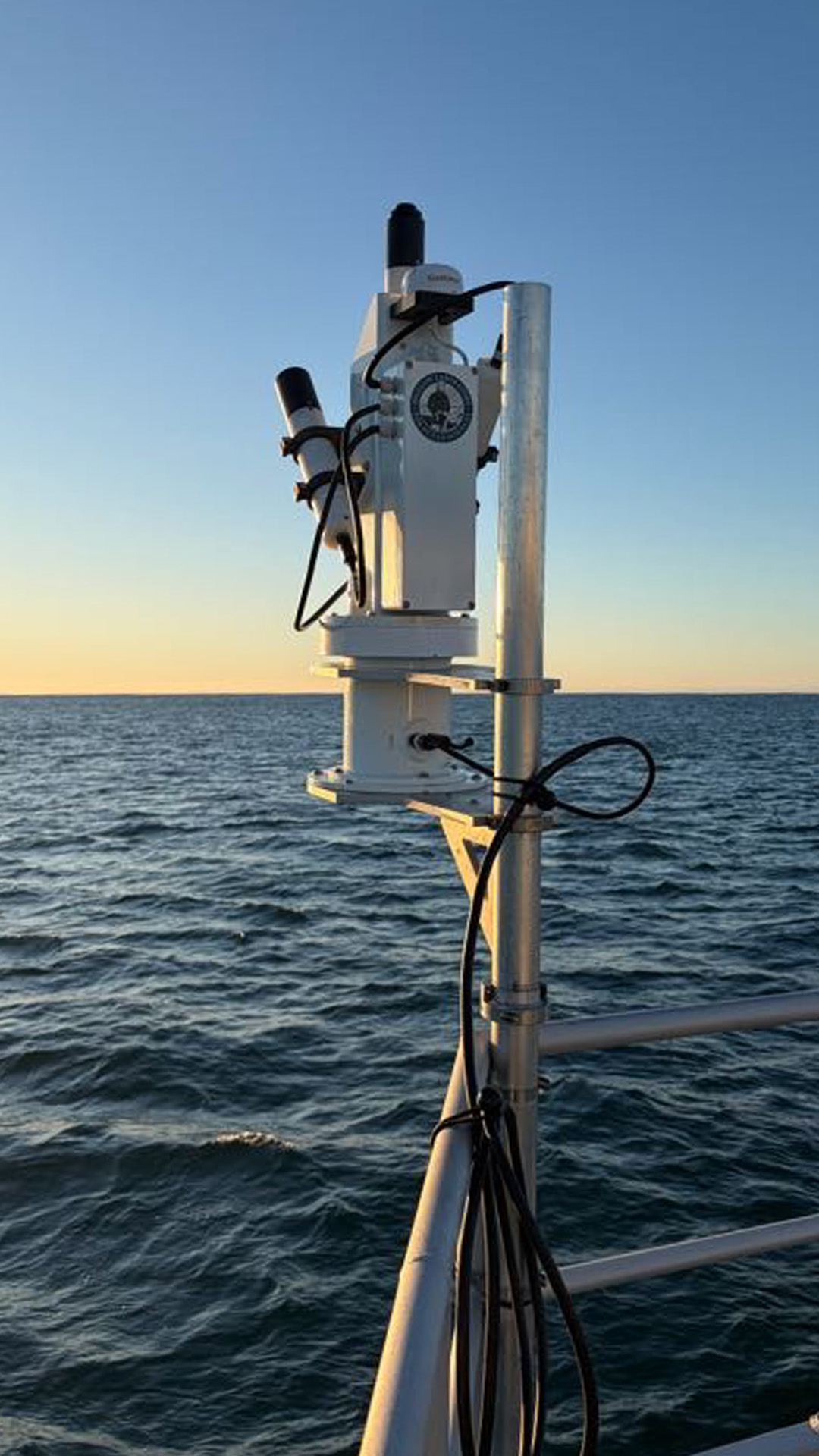
Clear skies are important for this science, because ocean-observing satellites use sunlight to look at ocean color to tease out what is contained in the water. Particulates (like phytoplankton, zooplankton, and detritus), as well as dissolved compounds, change the color of the water in a way that can be observed by satellites. But similar color doesn’t mean exactly the same thing in different parts of the global ocean. That’s why it is essential to have labs around the world validating satellite observations in many bodies of water. If we don’t measure these properties — including chlorophyll, primary productivity, dissolved carbon, and available nutrients — in the Gulf of Maine, the satellite algorithms that translate ocean color into meaningful information on biology won’t be accurate for our region.
GNATS has been gathering seasonal data in the Gulf of Maine since 1998, helping scientists understand how the Gulf is changing. It’s becoming warmer, less biologically productive, and more acidic. All of that is reflected in subtle changes in color.

In those early years, Senior Research Scientist Barney Balch and his team rode the ferry from Portland, Maine, to Yarmouth, Nova Scotia. They built a lab in a small container and plunked it onboard with the other cargo. Now we run these cruises on Bigelow Laboratory’s own vessel, the R/V Bowditch. The Bowditch doesn’t have a bar or casino like the commercial ferry, but having our own vessel comes with its advantages, including flexibility in scheduling, familiarity, and convenience.


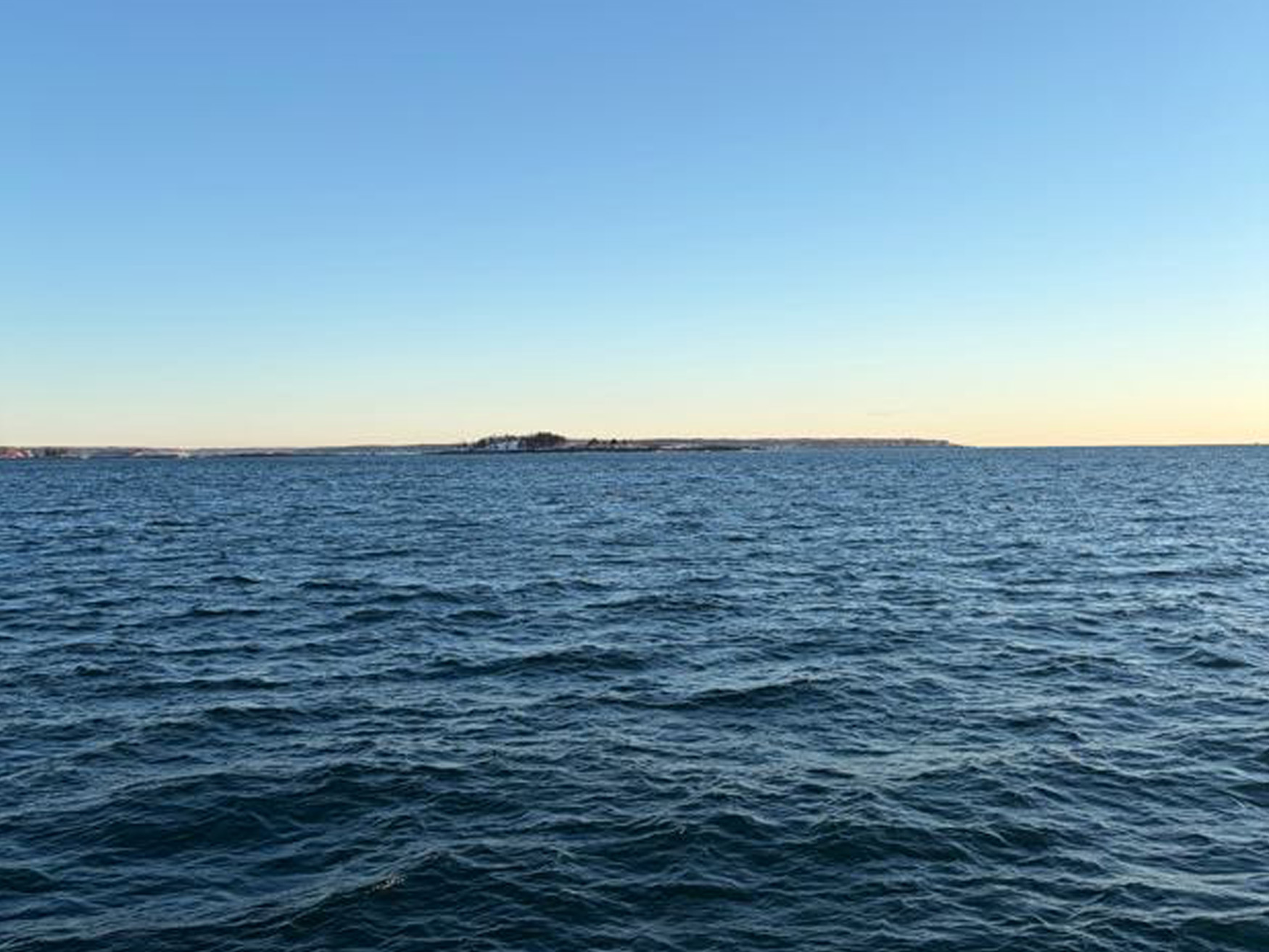
“Five minutes,” Dave calls again from the wheelhouse. The skies are still clear of clouds and the air is winter crisp — so clear that we can see Mt. Washington in amazing detail, over 100 miles away, though it looks like it’s sitting on Popham beach.
Some things have changed over the years. We have more hyperspectral instruments that can analyze across the full spectrum of light wavelengths to match the new hyperspectral satellites. We also use neural networks to classify plankton images. But we still collect the same core data as when the series began. We even recently dusted off an antique instrument, the expendable bathythermograph. Designed to be deployed off a moving vessel, this fast-sinking, torpedo-like thermometer trails a thin copper wire that transmits temperature, snapping off when the weight hits the bottom. This gives us precious data on bottom temperature, which is a vital signal for seasonal and decadal climate-driven changes that affect the entire Gulf.
One focus of our lab group is a type of calcifying phytoplankton called coccolithophores. These single-celled algae form a shall of calcium carbonate — picture the white chalky cliffs of Dover — that scatter sunlight and confuse the satellites. We hope to parse out what these cells, which can form massive blooms in the spring and fall, contribute to the absorption and scattering of sunlight. With that information, we can teach the satellites to account for it, which will provide more accurate information on ocean biology during those blooms.
We’ve made our turnaround and are heading west, back toward the lab. We’re halfway done with our sampling, and the satellite will pass overhead in 35 minutes. The wind has died down, and the ice is starting to melt off the deck. Our hands are warmer, and the queasiness has subsided. “5 minutes,” says Dave.
Photos: Julia Brown